Drone Survey: optimizing measurement accuracy
An innovative drone survey project combining measurement accuracy and turnaround time for a complex topographic project.
Project
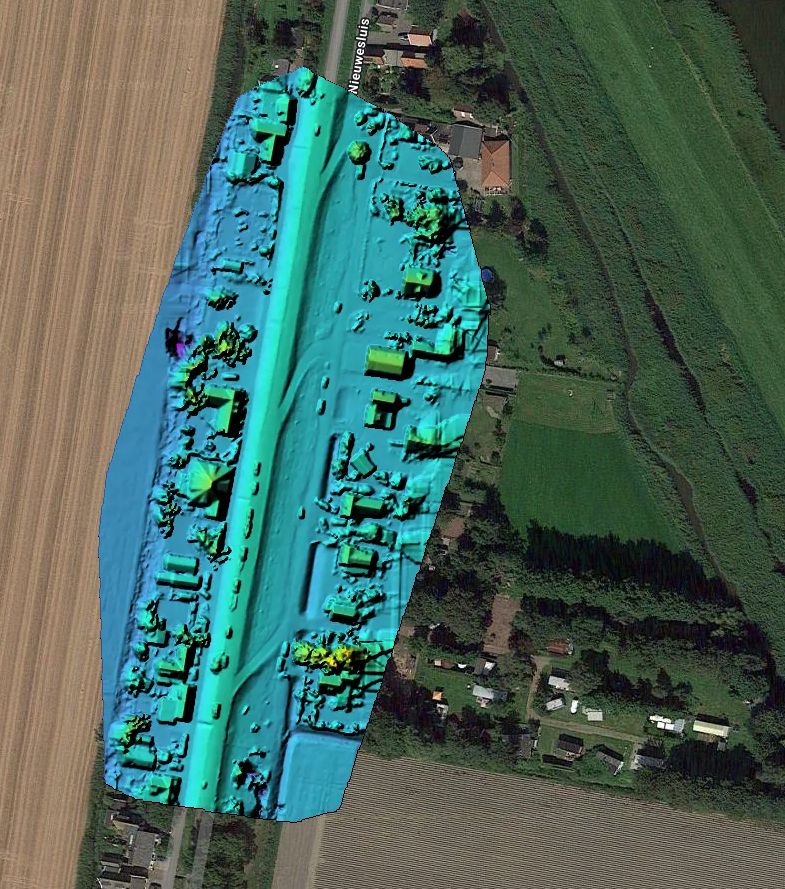
A complex topographic project required both high accuracy and fast turnaround. Classical RTK stake-out methods were too time-consuming for the desired resolution.
Approach
We set up a drone photogrammetry workflow with optimized GCP placement and RTK GNSS control. The combination delivered sufficient accuracy without physically visiting every measurement point.
Result
Centimeter-level accuracy across the full survey area, with a turnaround of hours rather than days. Results read directly into the client's existing processing tools without conversion steps.
Related services
Hydrographic surveys
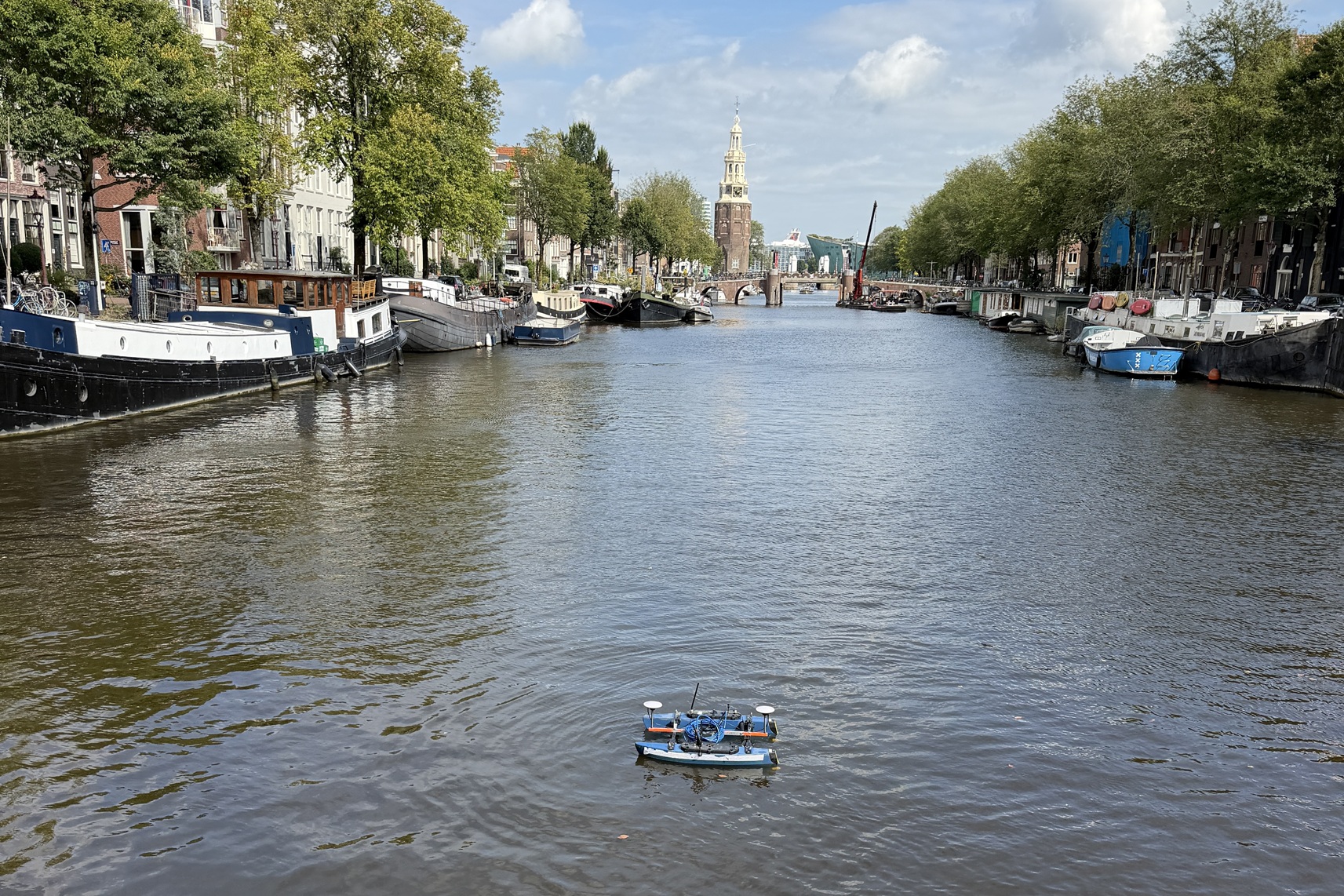
Seabed surveys with various vessels and USVs, from singlebeam to multibeam: RTK-accurate, from fast depth verification to full bottom coverage, from a compact building pit to the longest river.
Lees verder →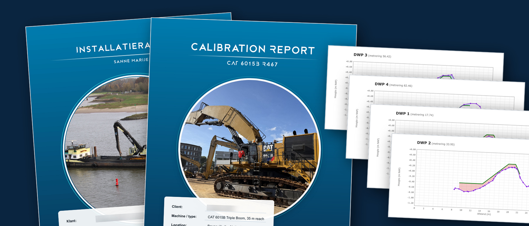
Data, software & reporting
From raw survey data to usable results. We work in the package you know, and where none exists we build the tool ourselves.
Lees verder →