
Hydrographic surveys
Seabed surveys with various vessels and USVs, from singlebeam to multibeam: RTK-accurate, from fast depth verification to full bottom coverage, from a compact building pit to the longest river.
What we do
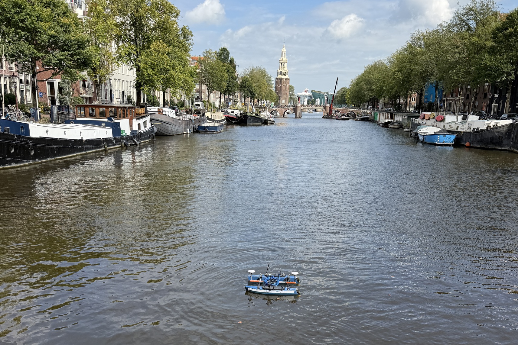
De Groot GeoServices carries out hydrographic surveys, among other things, with the USV, a compact, autonomous survey vessel up to 15 kg with an RTK compass. For fast, repeatable depth verification we survey with a singlebeam echosounder. For projects that need full bottom coverage, such as irregular or critical beds, we survey with a multibeam system. That way we pick, per project, the survey method that best fits the situation and the desired result.
We handle the whole process, from survey and data processing to reporting and delivery. In addition we support dredging and survey organisations as a subcontractor with extra capacity, specialist knowledge and specific survey equipment.
Our approach
Every survey starts with a short intake: target accuracy, deliverables and site conditions. Based on this intake we determine the suitable survey method and draw up a survey plan.
Where possible we carry out the survey with our USV. It runs the predefined survey lines and can do so fully autonomously. During the surveys we always run realtime quality control and cross-line verification, so we can guarantee a solid end product.
Processing is done in different software packages depending on the project, for example BeamworX or Viking. Delivery includes both the raw data and the processed products.
Applications
- Dredge validation: depth verification after every dredging cycle
- Waterway and port monitoring
- Bathymetric mapping of canals and inland waters
- Full bottom coverage with multibeam for complex or irregular beds
- Surveys in hard-to-reach or unsafe water
Datasheet
Related projects
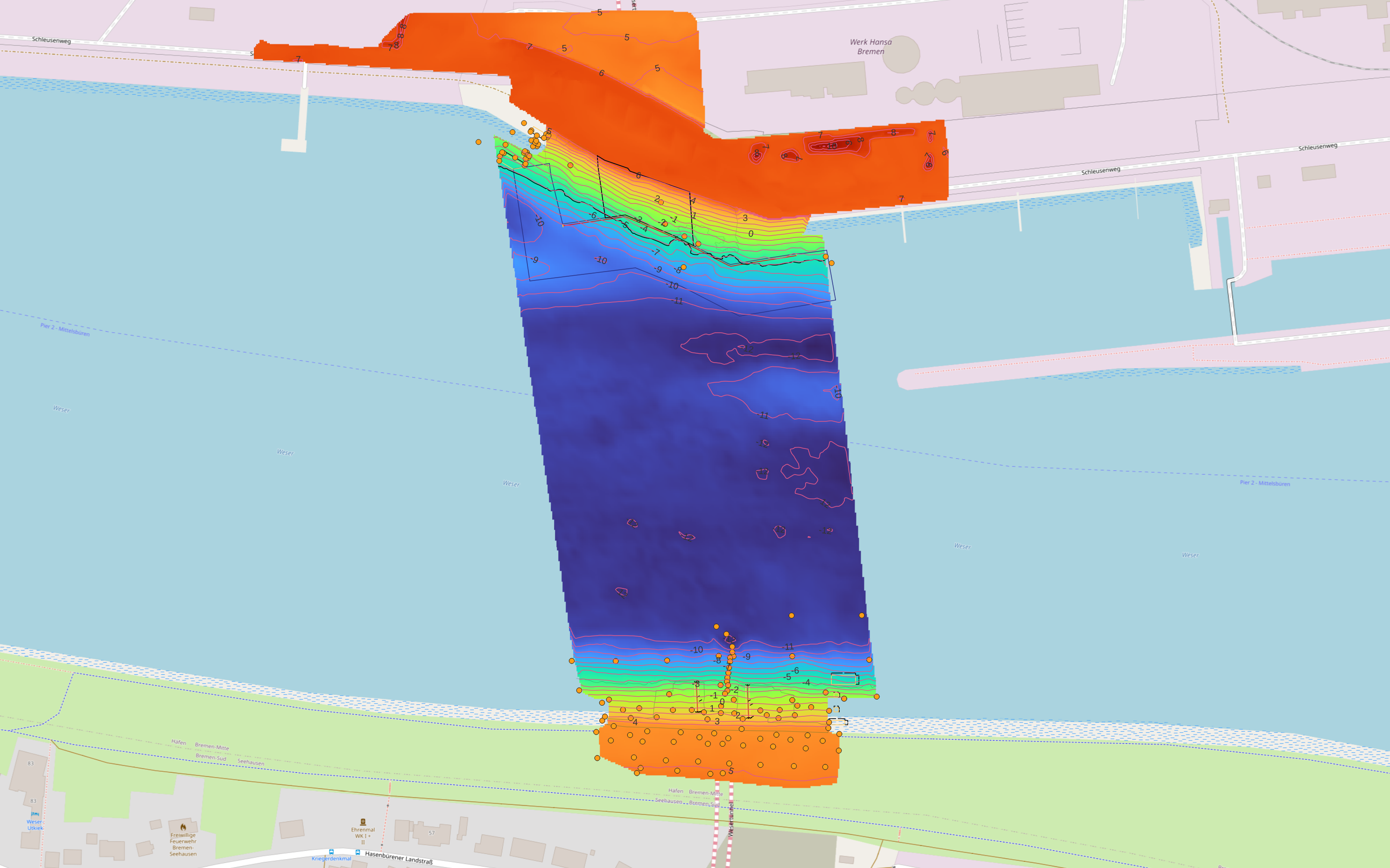
Wesertunnel Bremen: integrated survey and machine support
From dredging logs, drone and water surveys to excavation systems and connected survey software for the northern and southern approaches.
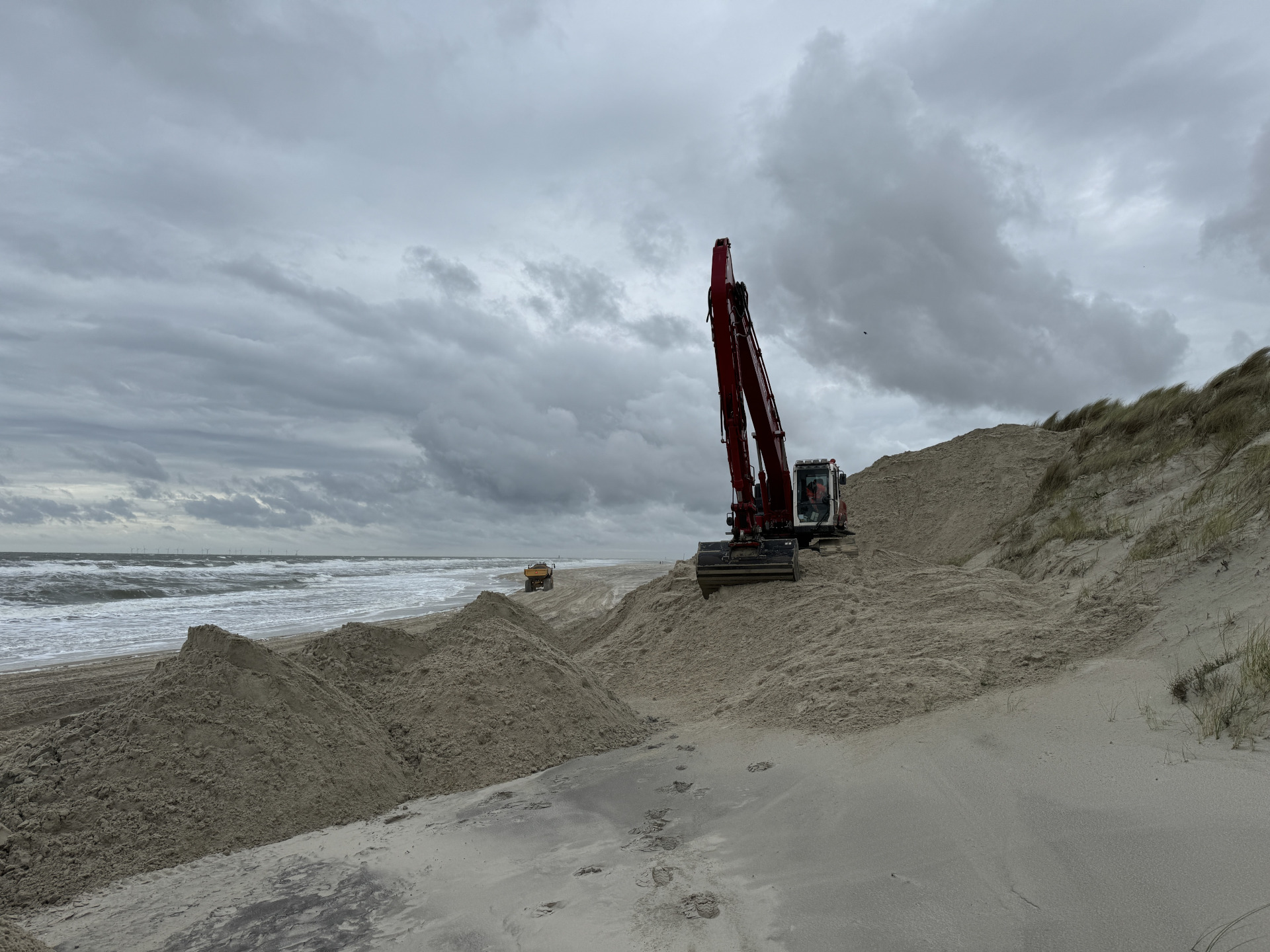
Wangerooge: efficient system integration for dune reinforcement
A hydraulic crane temporarily integrated into a suction system to spray sand more efficiently on Wangerooge for dune reinforcement.