Recent projects
A selection of our most recent work.
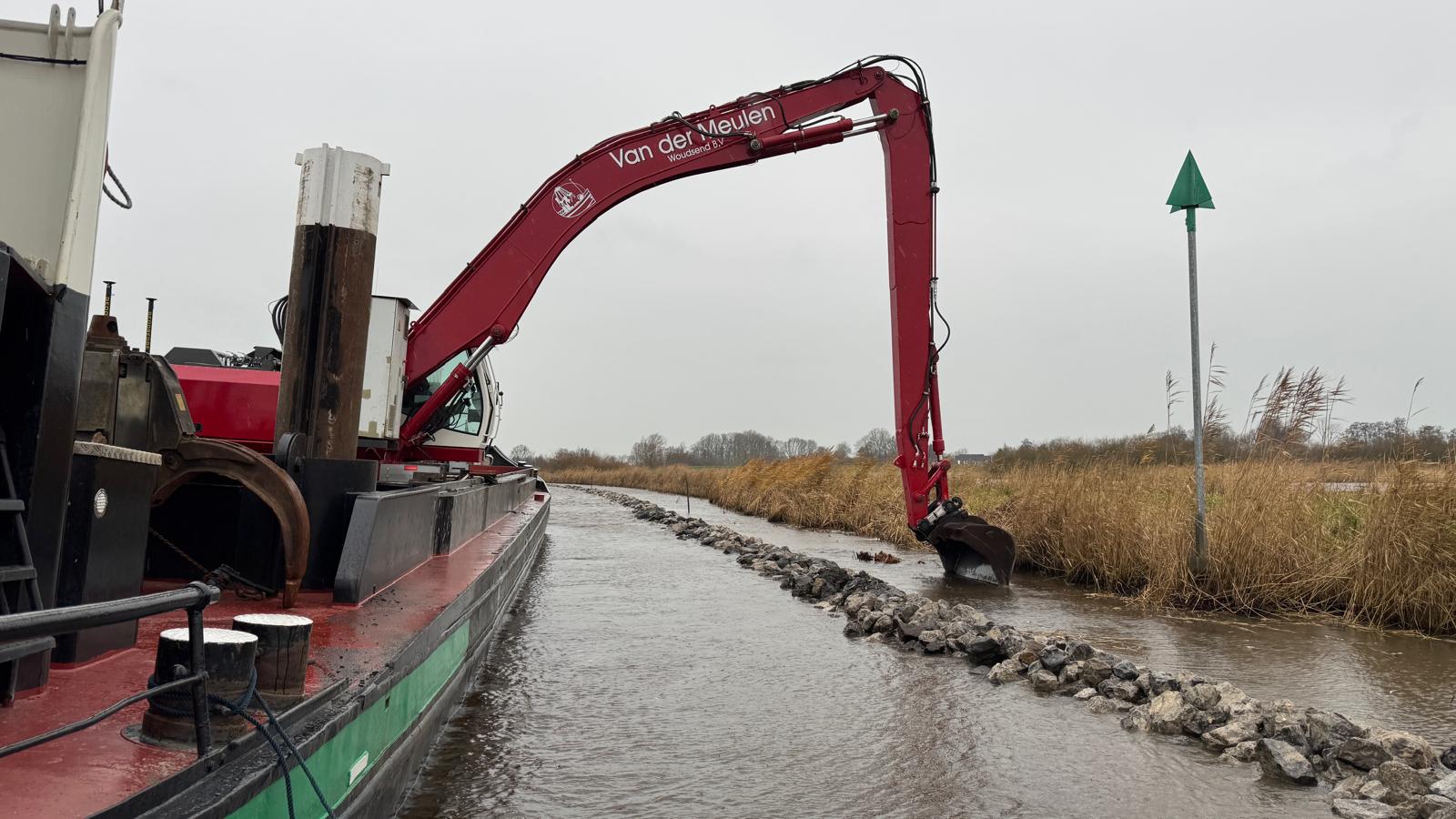
Waterway dredging in Fryslân: surveys and excavation systems
Maintenance dredging of a waterway of over 14 kilometres in Fryslân: De Groot GeoServices provides the surveys and machine models for Van der Meulen Woudsend, commissioned by the Province of Fryslân.
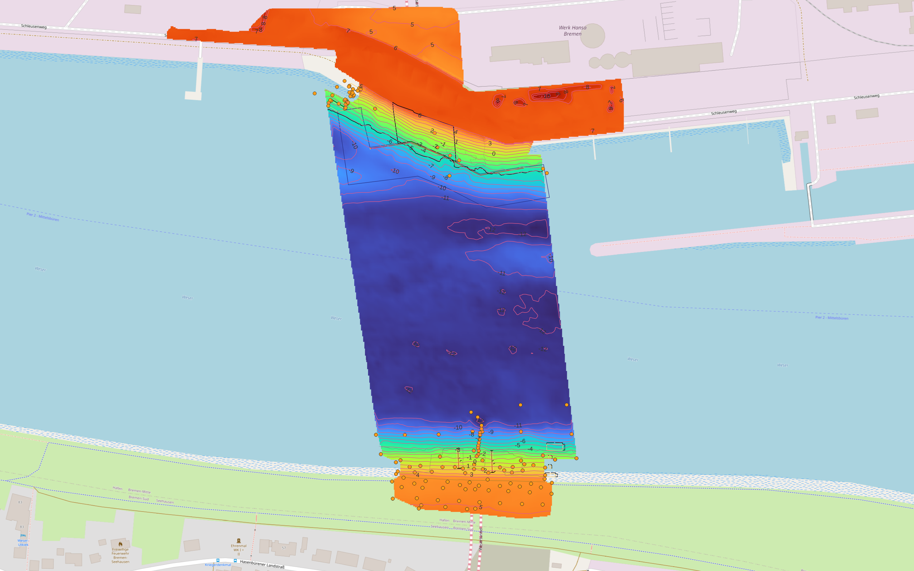
Wesertunnel Bremen: integrated survey and machine support
From dredging logs, drone and water surveys to excavation systems and connected survey software for the northern and southern approaches.
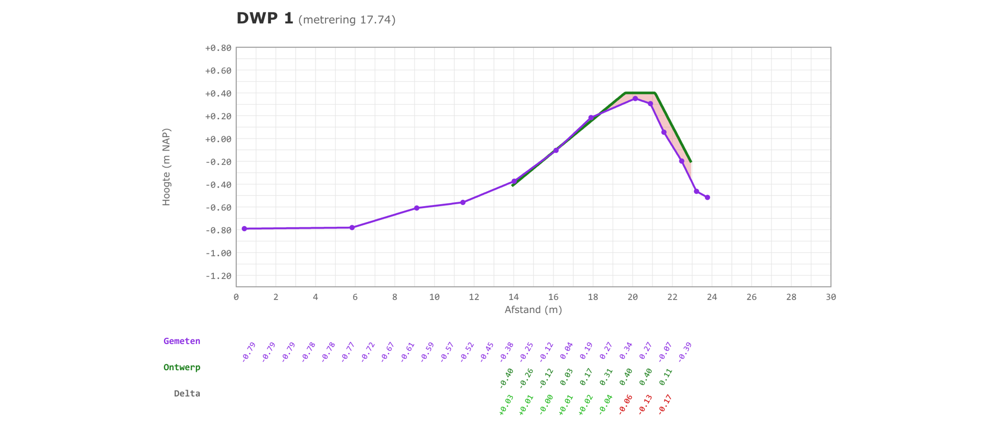
Levee profiles: measured against the design
RTK pole-measured profiles of a levee, automatically checked against the design, with a clear sheet per cross section and an indication of the shortfall.
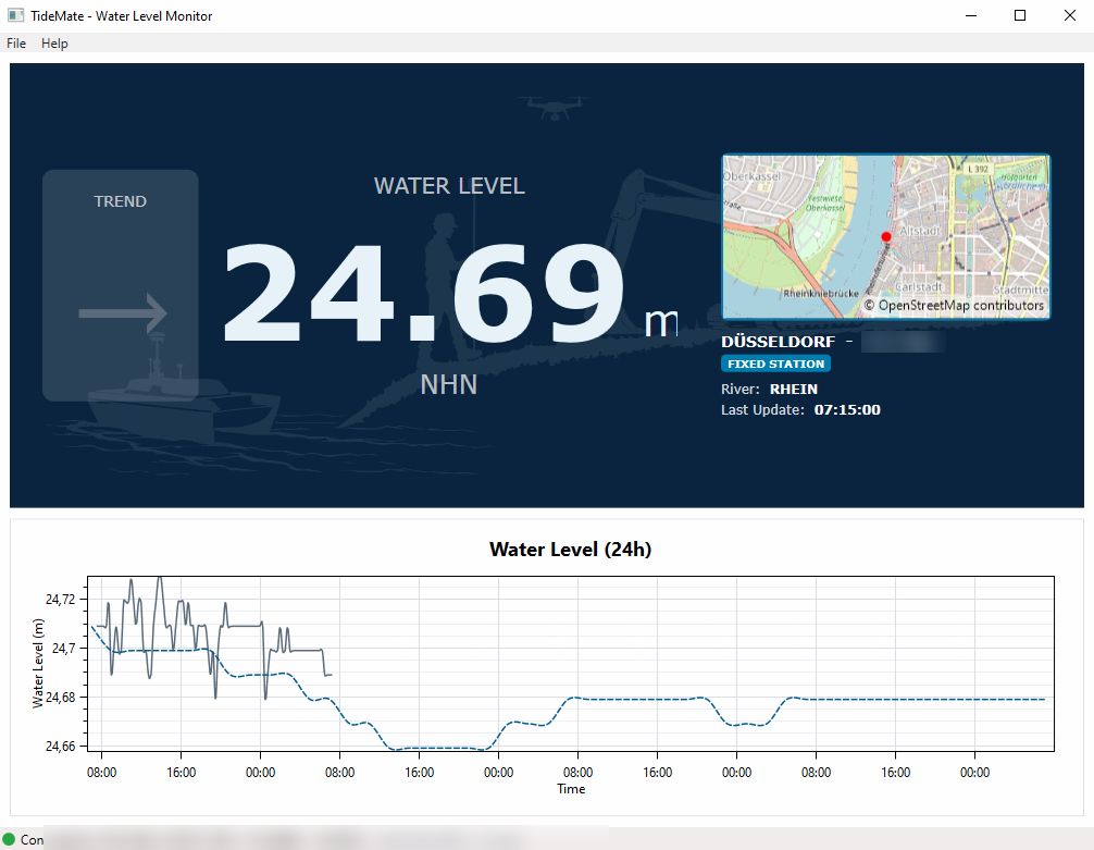
TideMate: tidal data linked to the GNSS position
An in-house tool that retrieves current water level and tidal data, selects the nearest active station and presents the information directly.
Excavation simulation: visualising continued extraction
An animated 3D scenario shows what happens when extraction continues to greater depth while the existing slope ratios are extended.
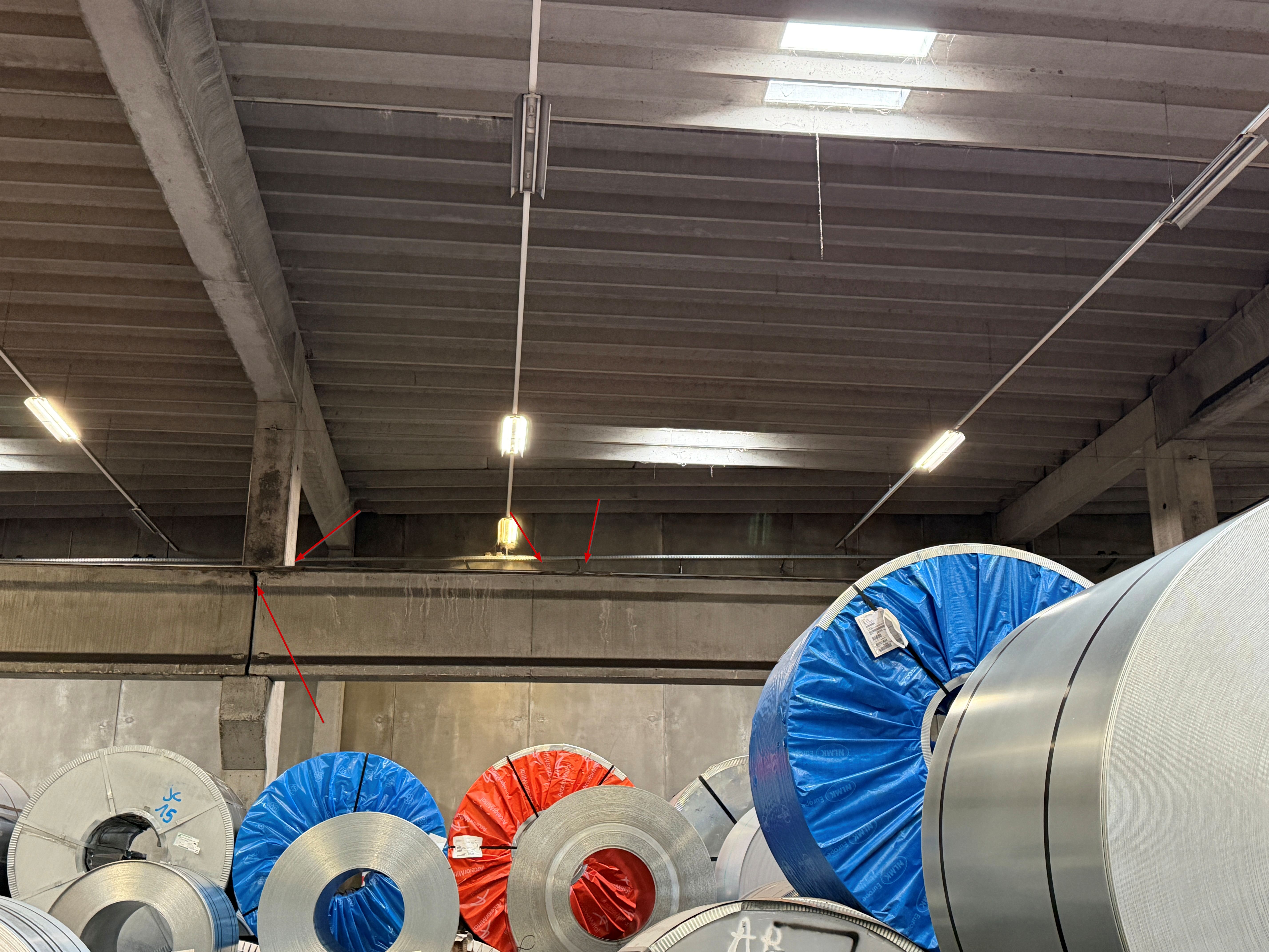
Crane rail measurements: geometry tested to ISO 12488-1
Accurate verification of gauge, alignment, elevation and local slope of crane rails, worked up in our own software, CalibrationMate.
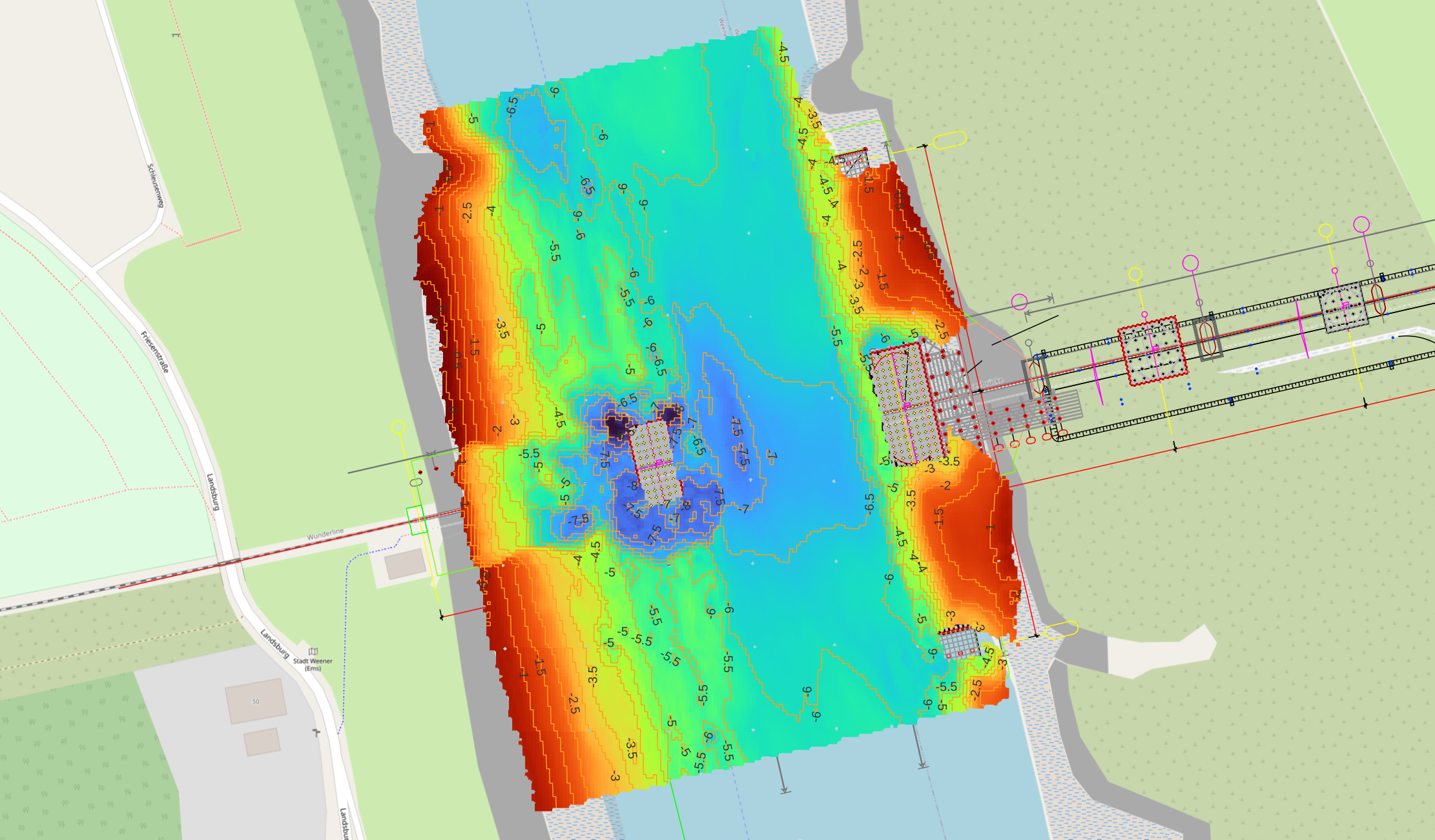
Friesenbrücke: verification of dredging and bed protection
Turning 2D designs into construction-ready 3D models, supported by monitoring, reporting and excavation systems around the bridge axes.
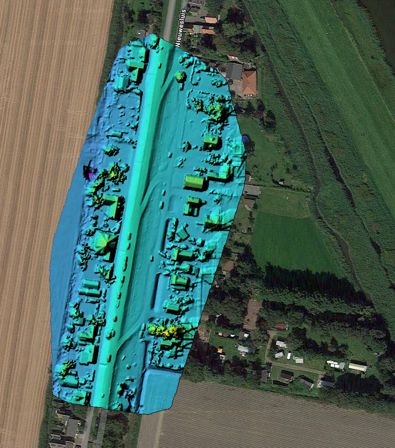
Drone Survey: optimizing measurement accuracy
An innovative drone survey project combining measurement accuracy and turnaround time for a complex topographic project.
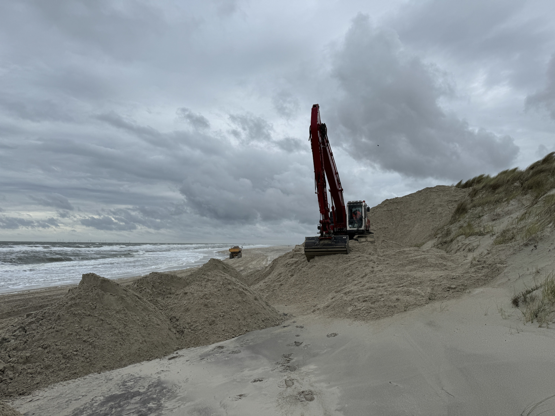
Wangerooge: efficient system integration for dune reinforcement
A hydraulic crane temporarily integrated into a suction system to spray sand more efficiently on Wangerooge for dune reinforcement.