Services
Our services support survey projects from start to finish: measurement, processing and consulting.
Hydrographic surveys
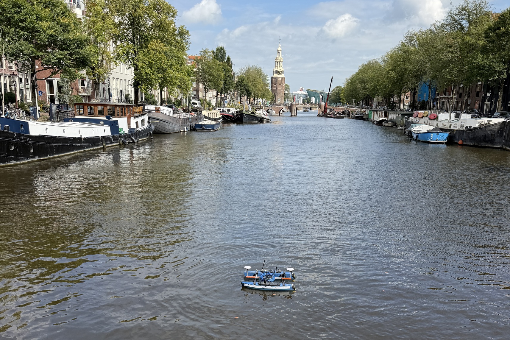
Seabed surveys with various vessels and USVs, from singlebeam to multibeam: RTK-accurate, from fast depth verification to full bottom coverage, from a compact building pit to the longest river.
Lees verder →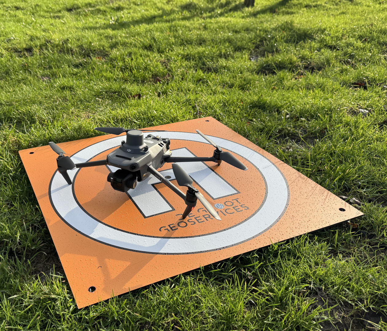
Drone & topographic surveys
Centimetre accuracy from the air: orthophotos, 3D models and volume calculations, processed in the agreed coordinate system.
Lees verder →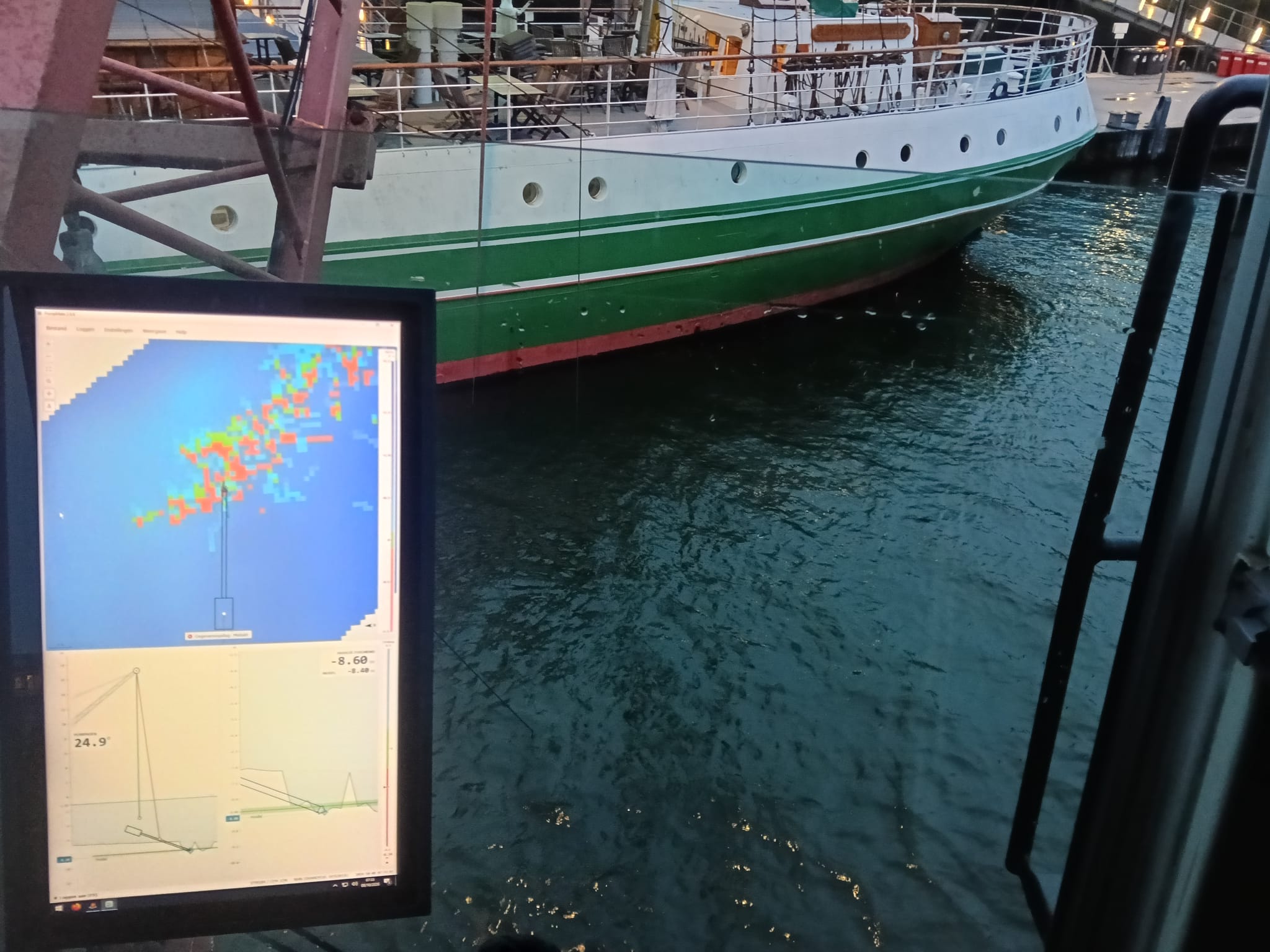
Positioning systems
Positioning systems on dredgers and excavators: realtime excavation data within design, from hydraulic crane to offshore hopper dredger.
Lees verder →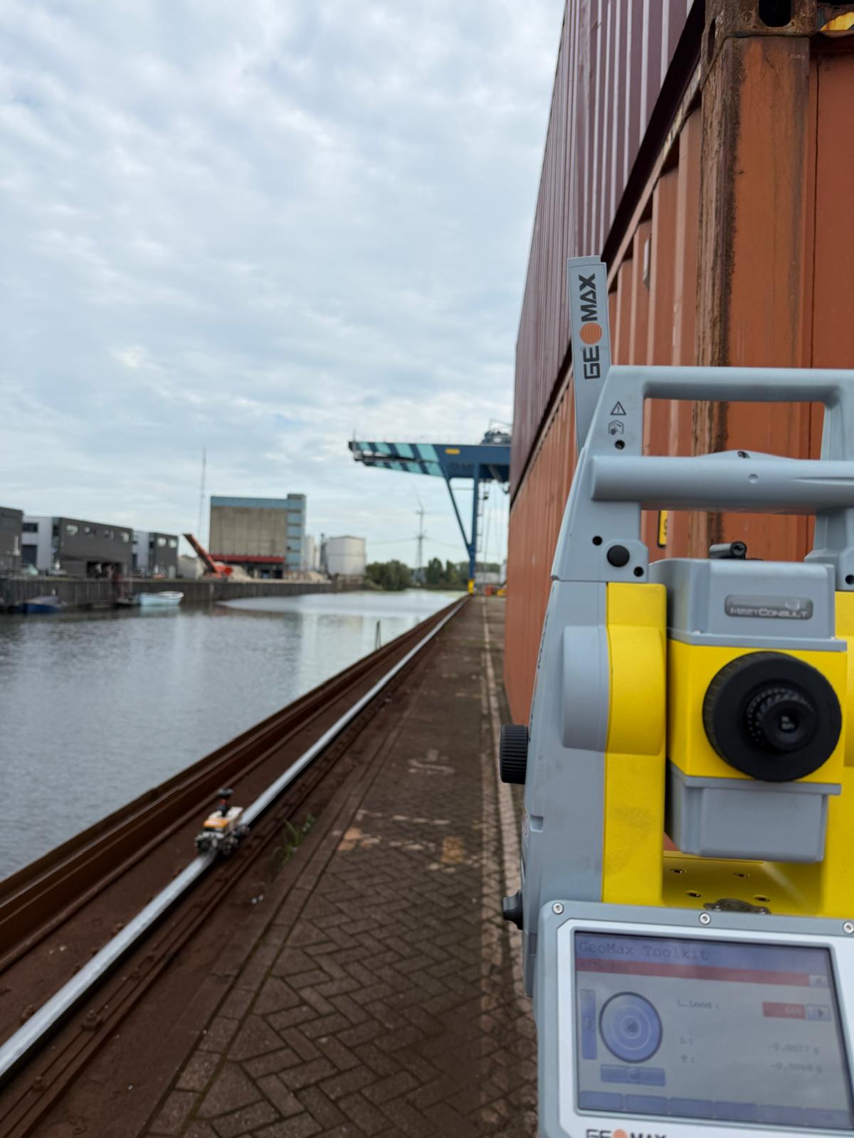
Crane Rail Surveys
We survey crane rails to the ISO standard, using a robotic total station and a measuring trolley. Our own software turns every survey into a standard, checked report.
Lees verder →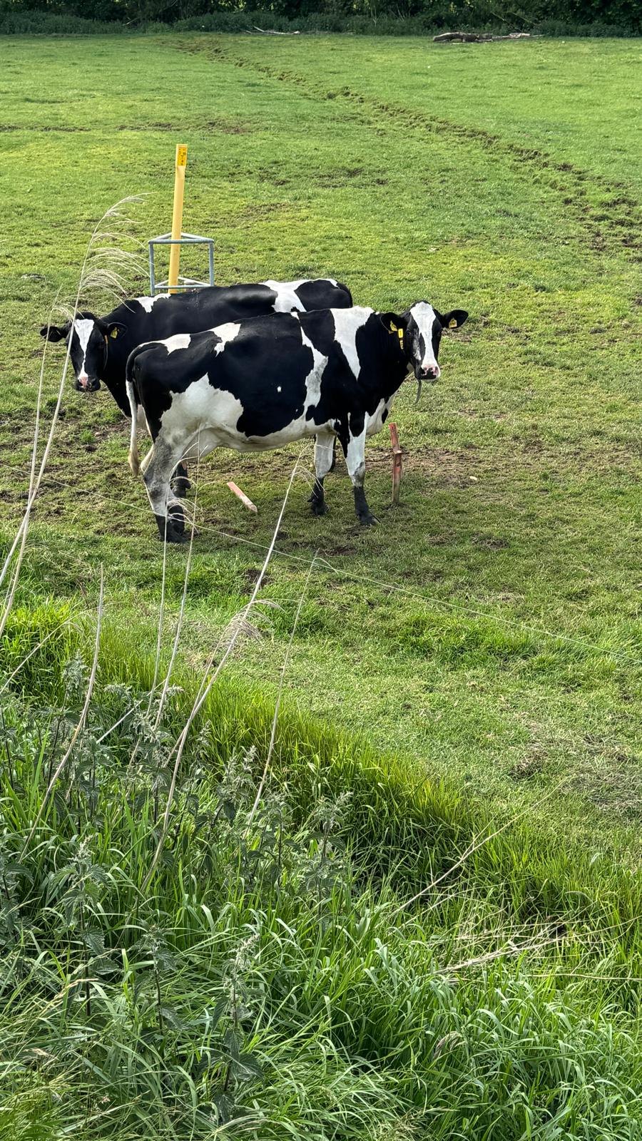
Setting out & dimensional control
From design to the field: set out points and lines accurately with RTK-GNSS or a total station and verify as-built against the design.
Lees verder →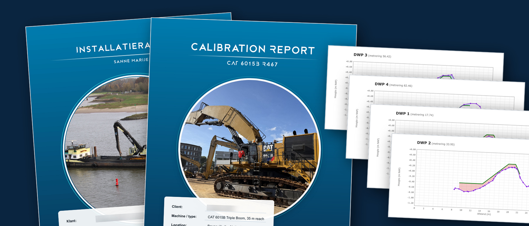
Data, software & reporting
From raw survey data to usable results. We work in the package you know, and where none exists we build the tool ourselves.
Lees verder →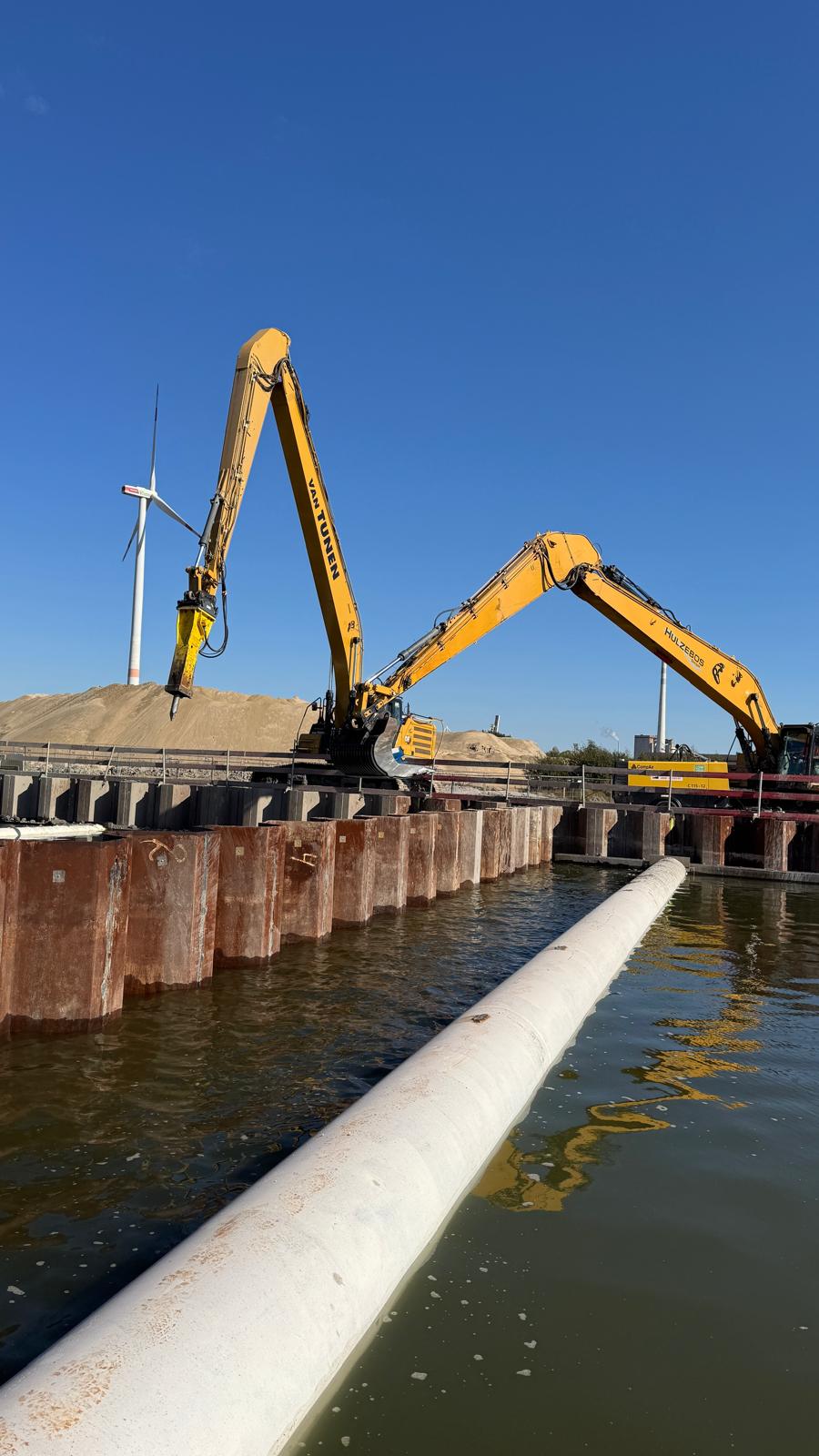
Consulting
Strategic consulting to take your projects to the next level.
Lees verder →