TideMate: tidal data linked to the GNSS position
An in-house tool that retrieves current water level and tidal data, selects the nearest active station and presents the information directly.
Project
During hydrographic work, the applied water level must match the current work location. Finding the correct tidal station manually takes time and can lead to an unsuitable station choice near locks or separated waterways.
Approach
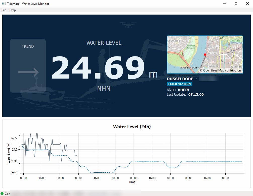
De Groot GeoServices developed TideMate as the link between a GNSS receiver and public water level sources. The software reads the position, finds the nearest active station and displays its name, distance, current level, the previous 24 hours and available forecasts. A station can also be pinned deliberately when local water conditions require it.
Result
The current water level is shown directly alongside the position while the origin of the value remains visible. This reduces manual searching, prevents unnoticed station changes and allows the selected level to be sent to other onboard survey software through TCP or UDP.
Related services
Data, software & reporting
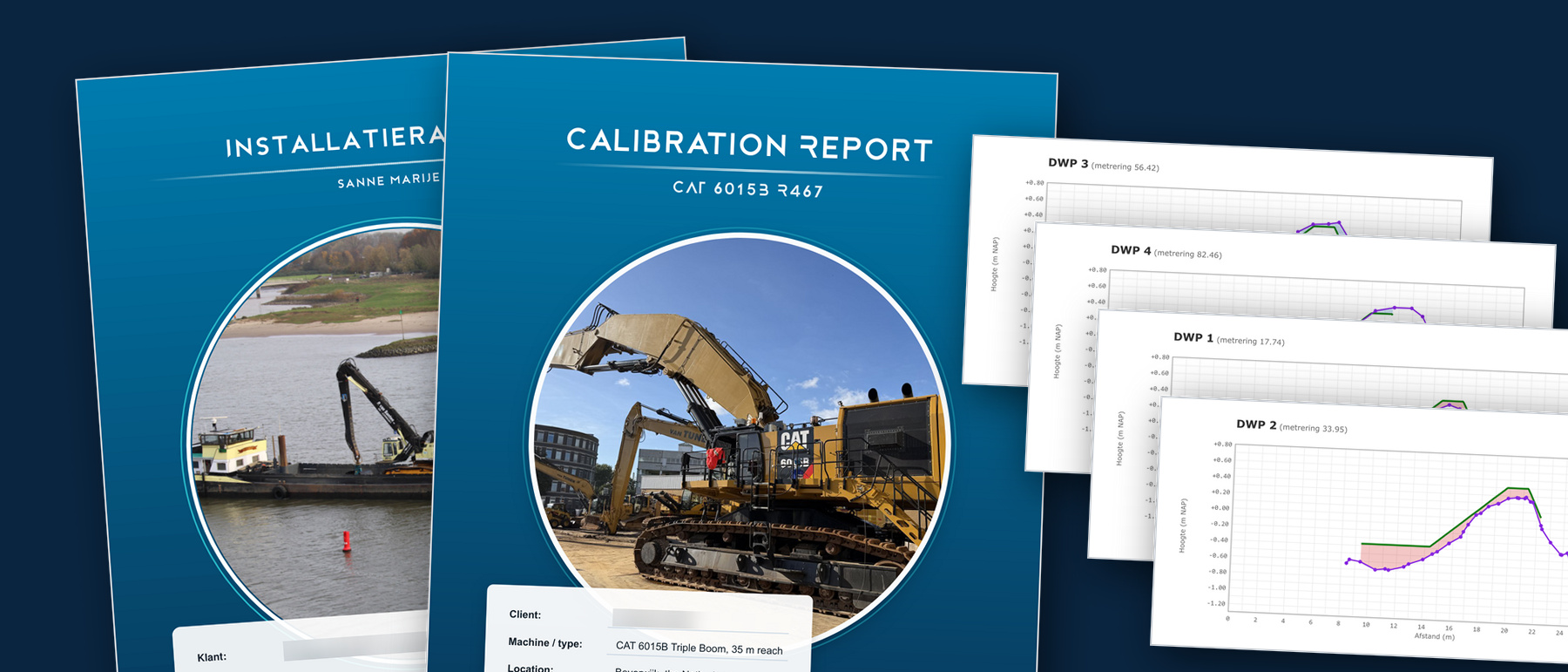
From raw survey data to usable results. We work in the package you know, and where none exists we build the tool ourselves.
Lees verder →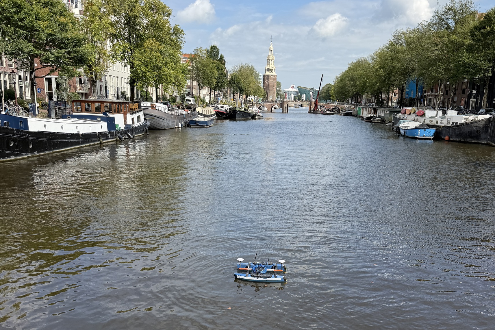
Hydrographic surveys
Seabed surveys with various vessels and USVs, from singlebeam to multibeam: RTK-accurate, from fast depth verification to full bottom coverage, from a compact building pit to the longest river.
Lees verder →
Consulting
Strategic consulting to take your projects to the next level.
Lees verder →