
Waterway dredging in Fryslân: surveys and excavation systems
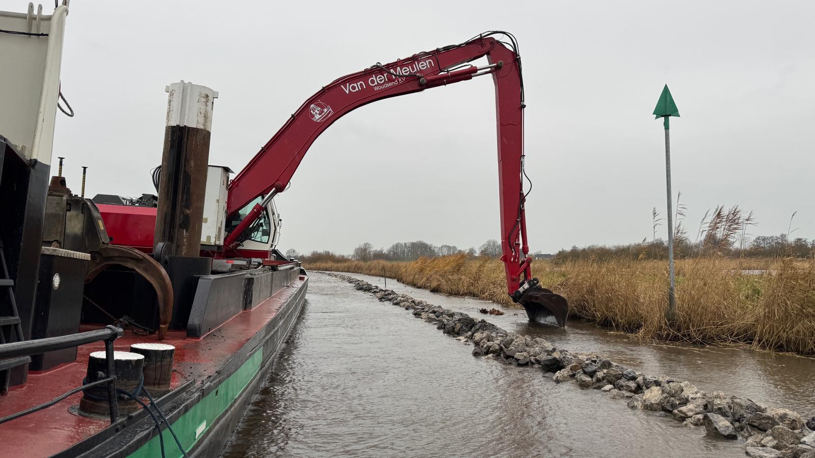
Maintenance dredging of a waterway of over 14 kilometres in Fryslân: De Groot GeoServices provides the surveys and machine models for Van der Meulen Woudsend, commissioned by the Province of Fryslân.
Project
A waterway of over 14 kilometres has to be dredged to the required (legger) depth, section by section and demonstrably. Execution calls for a baseline survey, monitoring during dredging and a post-dredging survey per section, plus machines working on the correct dredging model. Cables and pipes (KLIC) also have to be taken into account.
Approach
De Groot GeoServices surveys the waterway per dredging section with a dual-frequency singlebeam and processes the data. Per section we deliver a baseline survey, interim surveys and a post-dredging survey, with delta maps and cross sections against the dredging model and a volume calculation. For execution we build the machine models for the crane, so the operator uses the excavation system in realtime on the correct design. KLIC data is incorporated into the models and drawings.
Result
Van der Meulen and the Province of Fryslân can steer the maintenance dredging section by section and demonstrably: the operator works on the current dredging model, and after each section the post-dredging survey with delta map shows whether the required depth has been reached.
Related services
Hydrographic surveys
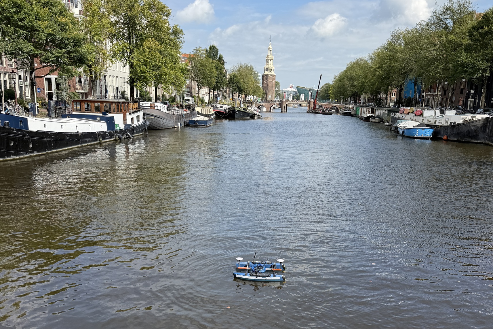
Seabed surveys with various vessels and USVs, from singlebeam to multibeam: RTK-accurate, from fast depth verification to full bottom coverage, from a compact building pit to the longest river.
Lees verder →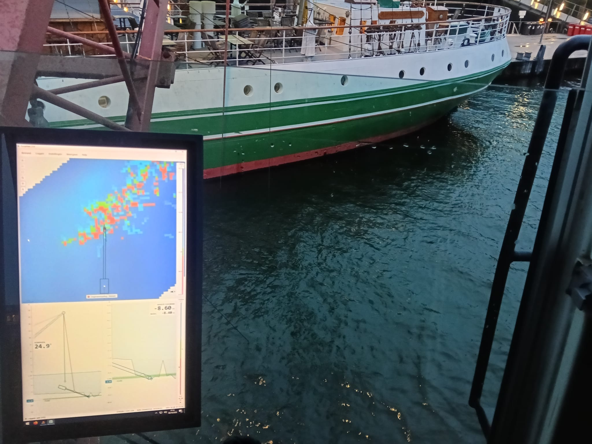
Positioning systems
Positioning systems on dredgers and excavators: realtime excavation data within design, from hydraulic crane to offshore hopper dredger.
Lees verder →