
Coast & flood defence
Dunes, levees and coastal defence: land and water in one picture, with profiles checked against the design.
The sector
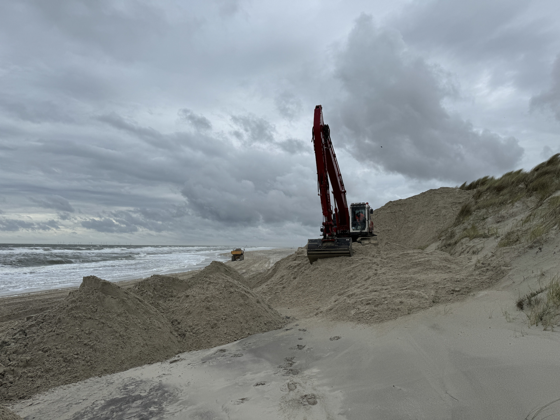
Coastal defence and flood protection call for reliable figures: how much sand has been spread, how does the levee or dune profile compare with the design, and how does it change over time? One reference is the sand nourishment on Wangerooge (Germany).
How we help
We combine drone surveys (dune body, sand distribution, volume) with the BlueBoat USV (seabed) into one picture of land and water. We measure levee profiles with RTK on a pole and check them automatically against the design, with a sheet per profile on which low and high sections are coloured. That way you follow progress and receive as-built documentation in one report.
What matters here
- Volume and progress monitoring of sand nourishment
- Levee and dune profiles checked against the design
- Land and seabed in one picture
- As-built documentation of reinforcement work
Clients
- Water boards
- Coastal managers
- Hydraulic engineering contractors
Relevant services
Drone & topographic surveys
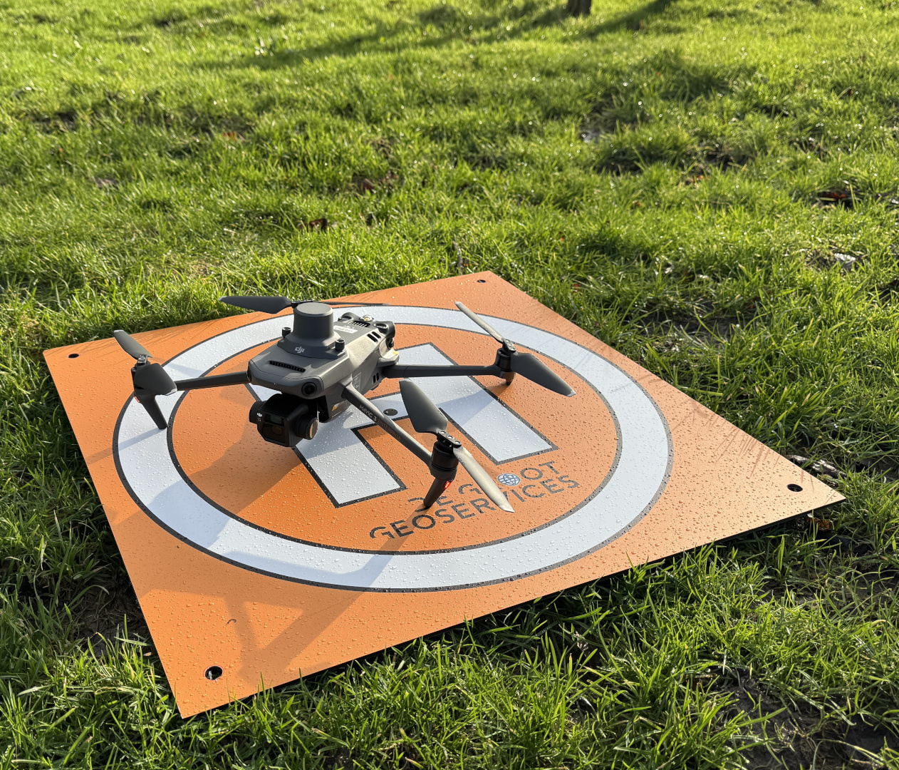
Centimetre accuracy from the air: orthophotos, 3D models and volume calculations, processed in the agreed coordinate system.
Lees verder →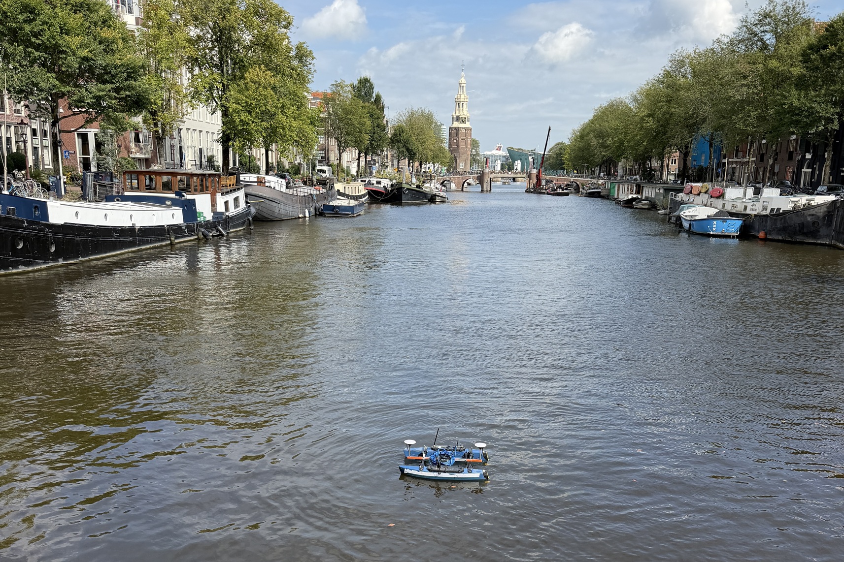
Hydrographic surveys
Seabed surveys with various vessels and USVs, from singlebeam to multibeam: RTK-accurate, from fast depth verification to full bottom coverage, from a compact building pit to the longest river.
Lees verder →
Consulting
Strategic consulting to take your projects to the next level.
Lees verder →