Drone & topographic surveys
Centimetre accuracy from the air: orthophotos, 3D models and volume calculations, processed in the agreed coordinate system.
What we do
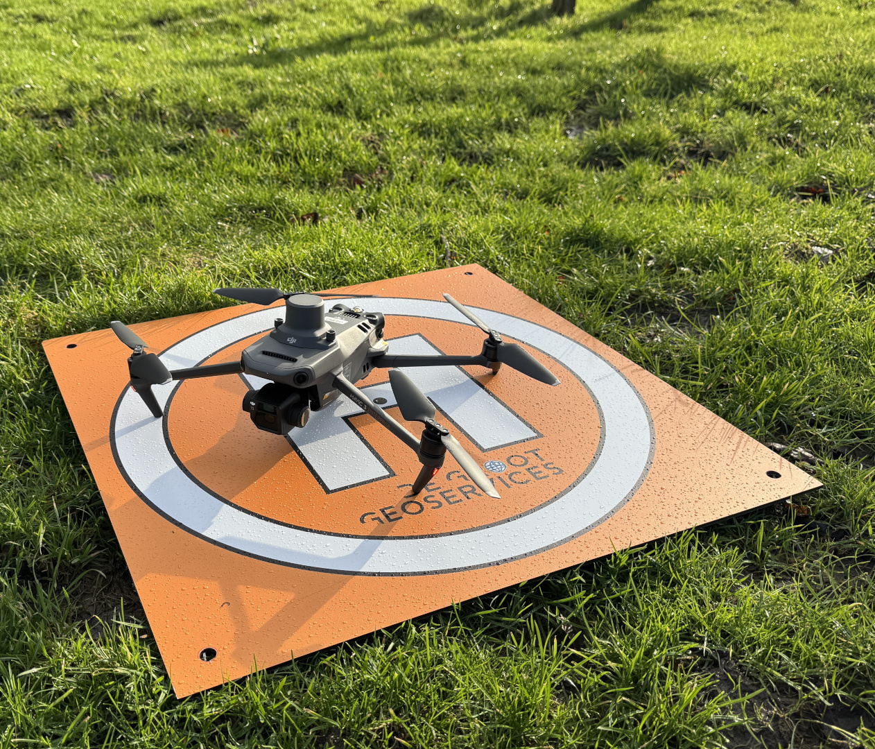
We deliver photogrammetric surveys with centimetre-level accuracy. We fly with an RTK drone and choose the aircraft to match the project requirements; for heavier requirements we deploy a more suitable or additional aircraft. Our pilots are EASA certified. We deliver results in the common formats: orthophoto (GeoTIFF), point cloud (LAS/LAZ), terrain models (DSM/DTM), DXF/CAD and volume reports.
Our approach
We determine the required accuracy class up front and place ground control points (GCPs) where needed for absolute control. We process the data in the agreed coordinate system, so the result connects directly to the existing project information. Where it gives a more complete picture, we combine the drone survey with a multibeam or singlebeam survey, so land and seabed come together in one complete picture of the site.
Applications
- Topographic surveys for specifications and plans
- Volume calculations of stockpiles, sand extractions and pits
- Orthophotos for environmental monitoring and documentation
- 3D terrain modelling (DSM / DTM)
- Combining with multibeam or singlebeam for a complete land-and-water picture
Datasheet
Related projects
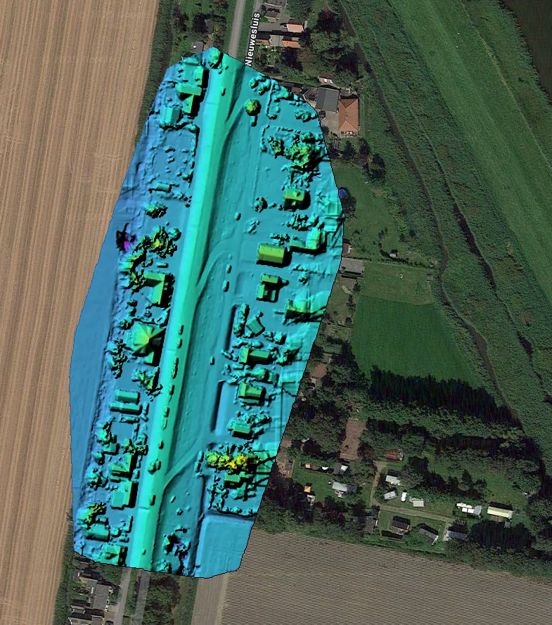
Drone Survey: optimizing measurement accuracy
An innovative drone survey project combining measurement accuracy and turnaround time for a complex topographic project.
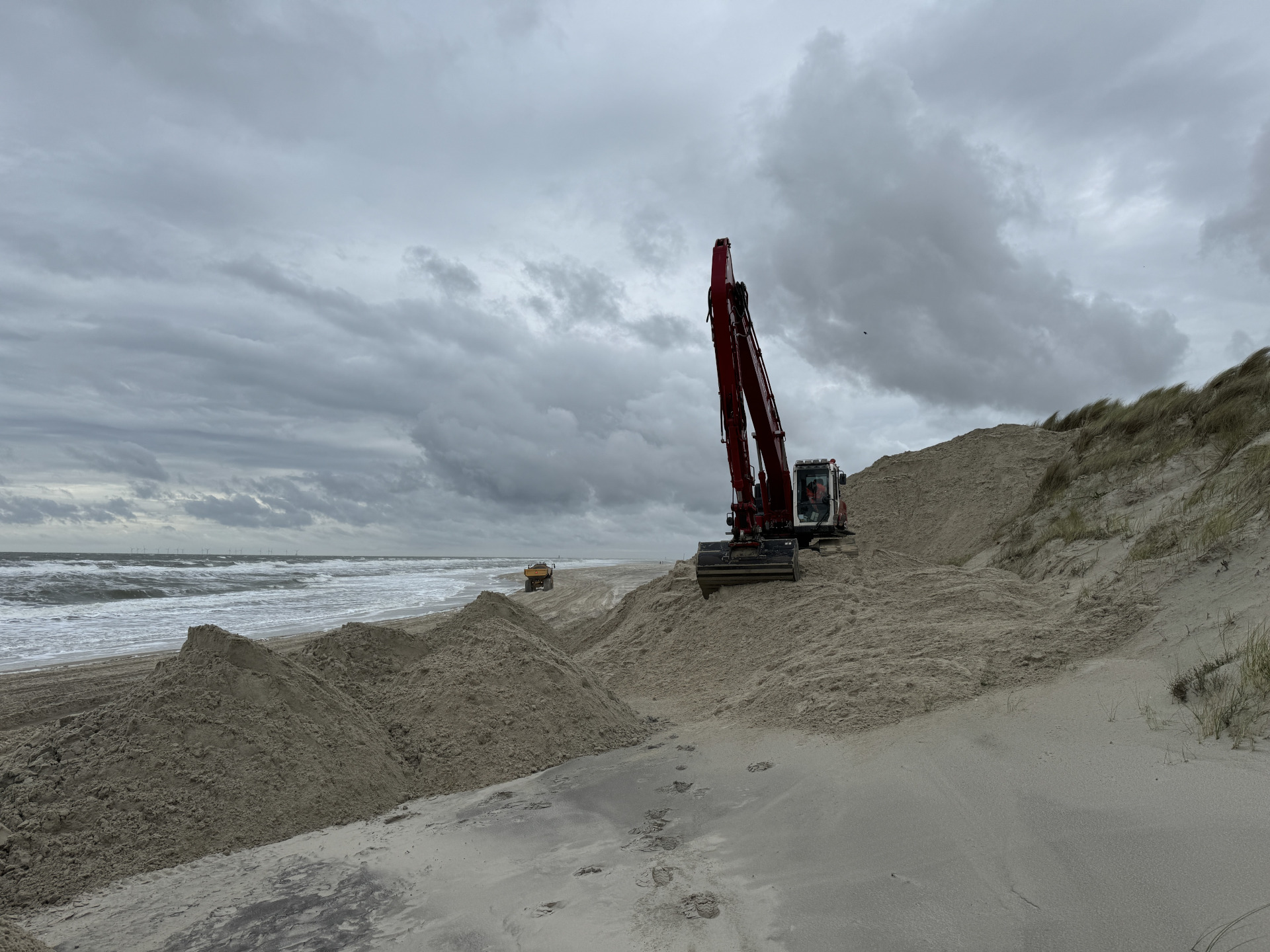
Wangerooge: efficient system integration for dune reinforcement
A hydraulic crane temporarily integrated into a suction system to spray sand more efficiently on Wangerooge for dune reinforcement.