
Government & water management
Reliable survey data for water boards and municipalities: from waterway monitoring to reporting for supervision and permits.
The sector
Governments and water managers need objective, verifiable survey data for safe waterways and well-founded decisions.
How we help
We carry out periodic waterway and port monitoring and map the bottom of lakes and canals. Delivery is tuned to supervision and permitting, with clear reports and maps, and where desired a link with existing GIS systems.
What matters here
- Timely detection of shallows for safe shipping
- Bathymetric monitoring of lakes and canals
- Reporting suited to supervision and permits
- Links with existing GIS systems
Clients
- Water boards
- Municipalities and provinces
- Waterway authorities
Relevant services
Hydrographic surveys
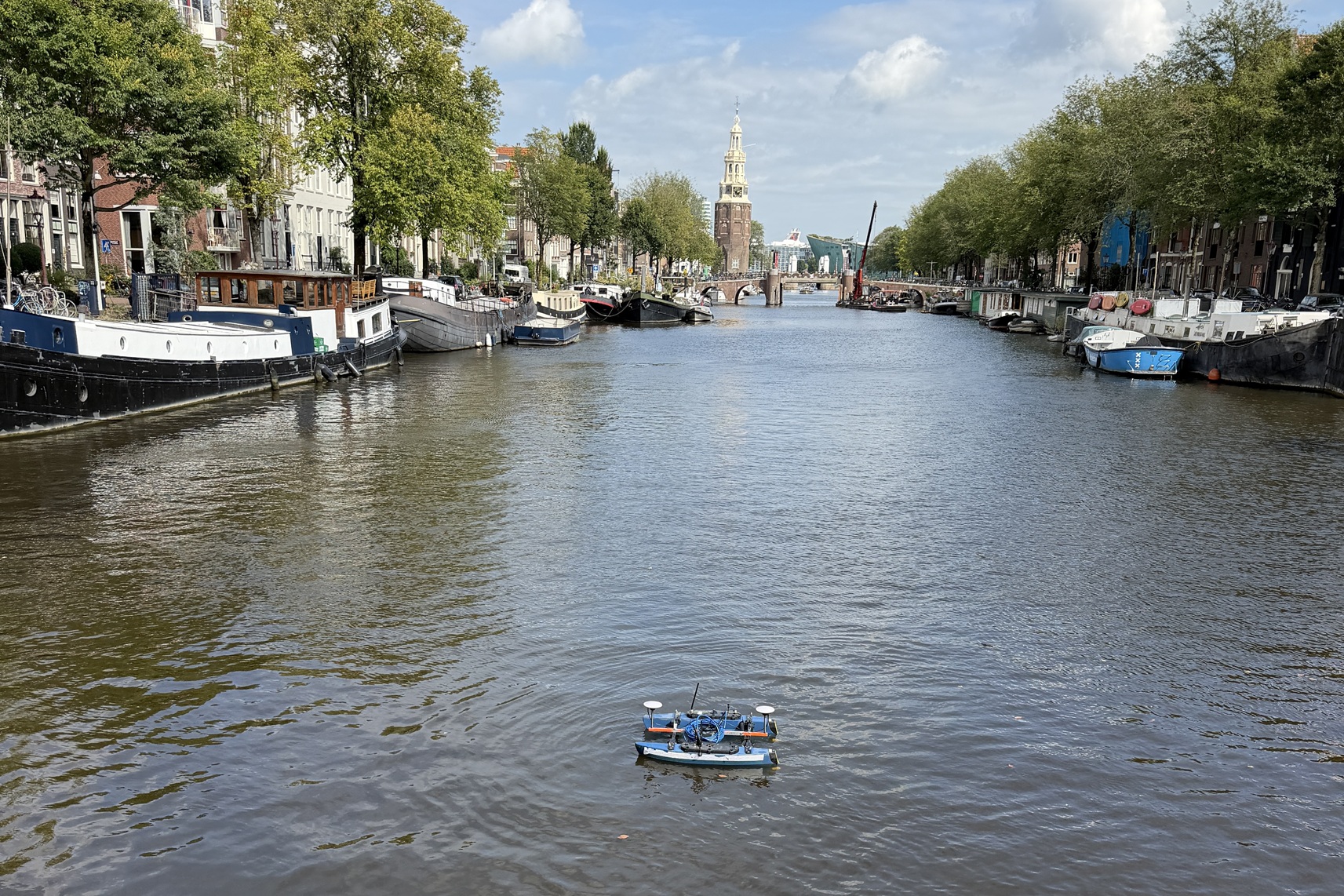
Seabed surveys with various vessels and USVs, from singlebeam to multibeam: RTK-accurate, from fast depth verification to full bottom coverage, from a compact building pit to the longest river.
Lees verder →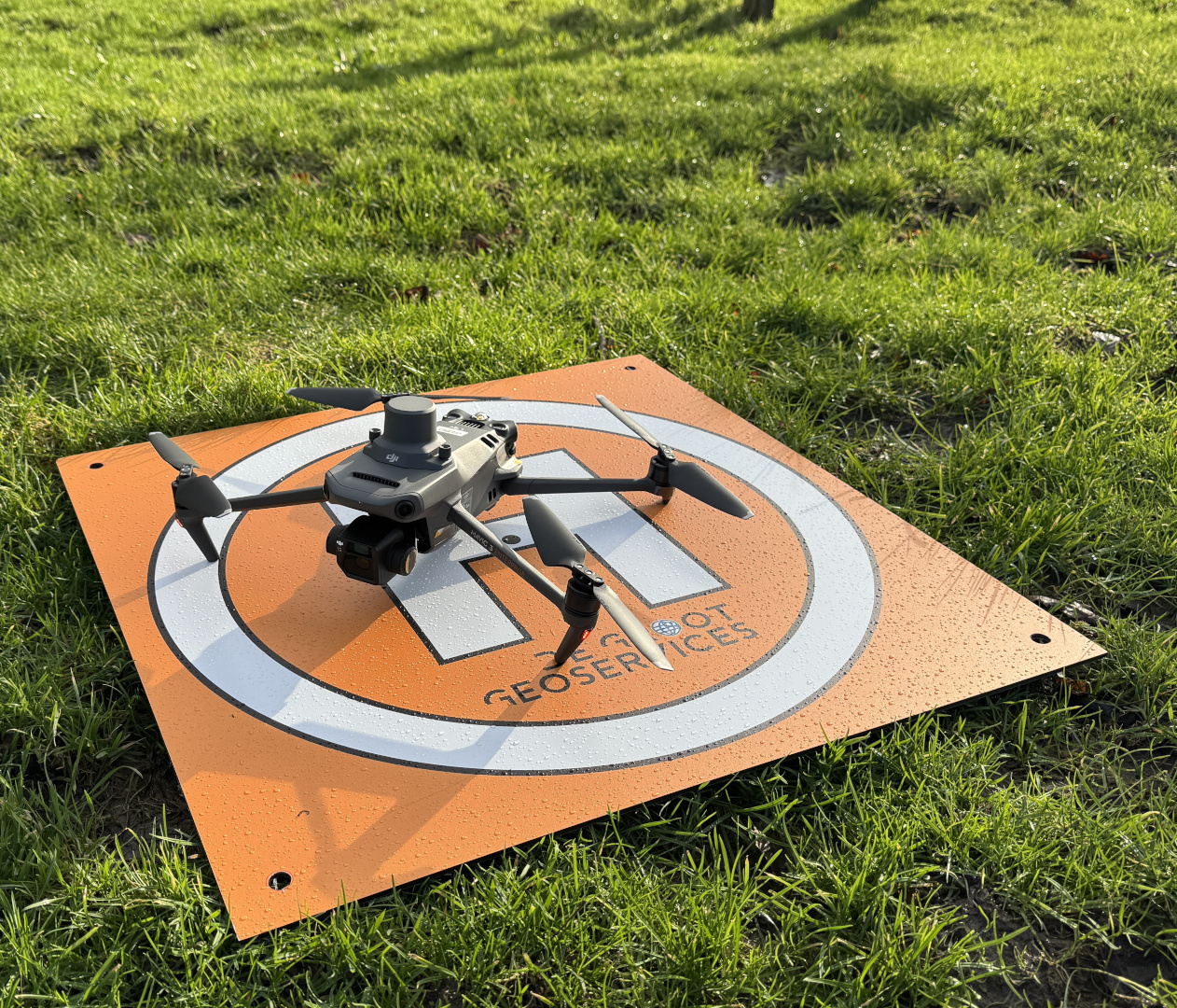
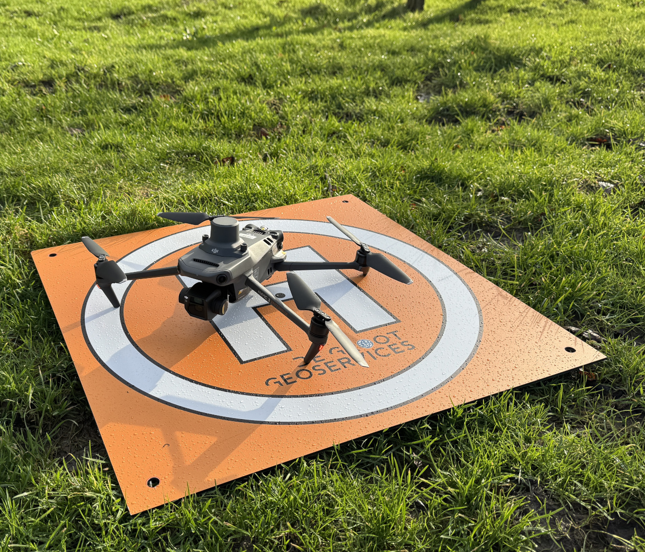
Drone & topographic surveys
Centimetre accuracy from the air: orthophotos, 3D models and volume calculations, processed in the agreed coordinate system.
Lees verder →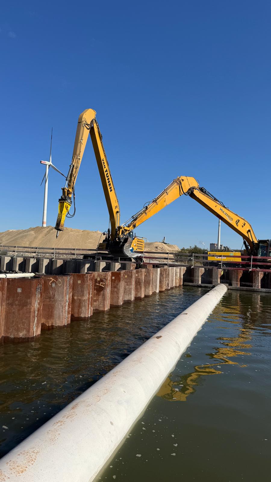
Consulting
Strategic consulting to take your projects to the next level.
Lees verder →