Wesertunnel Bremen: integrated survey and machine support
From dredging logs, drone and water surveys to excavation systems and connected survey software for the northern and southern approaches.
Project
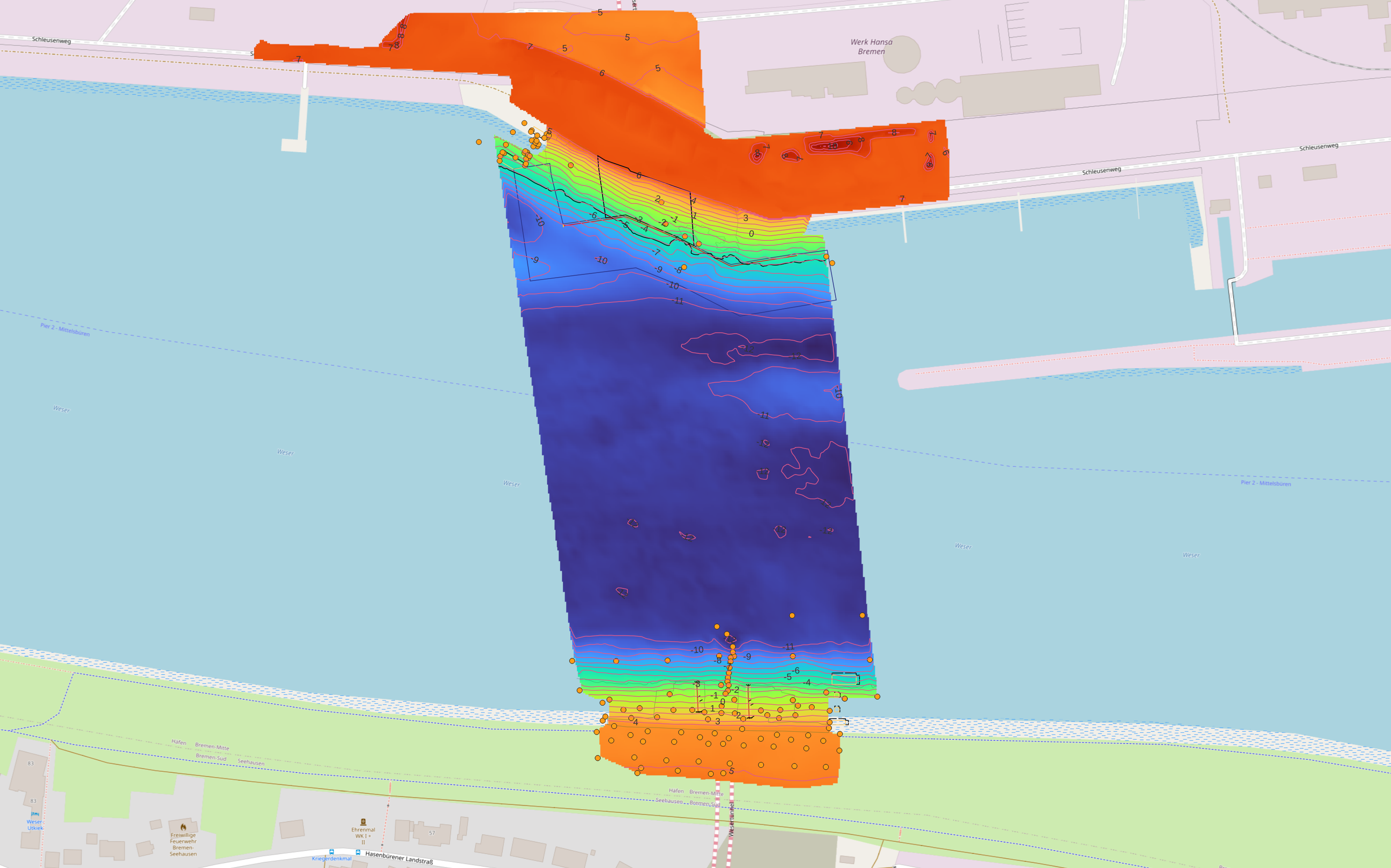
The northern and southern approaches of the Wesertunnel cover multiple work areas, machines and construction phases. Survey data, design models and crane systems had to form one continuous information flow for efficient and verifiable clearing, dredging and layer construction.
Approach
De Groot GeoServices supplied dredging logs, drone surveys, singlebeam surveys, manual soundings and multibeam surveys. Excavation systems were also installed and supported on various permanent and rental excavators, including a Hitachi 1200. The crane survey software was linked to the processing environment so models, progress data and machine files became available without unnecessary intermediate steps.
Result
Surveys, models and excavators now work from the same current project information. Operators receive practical excavation data, construction can be adjusted more quickly and progress at both tunnel approaches remains verifiable through reports and comparison models.
Related services
Positioning systems
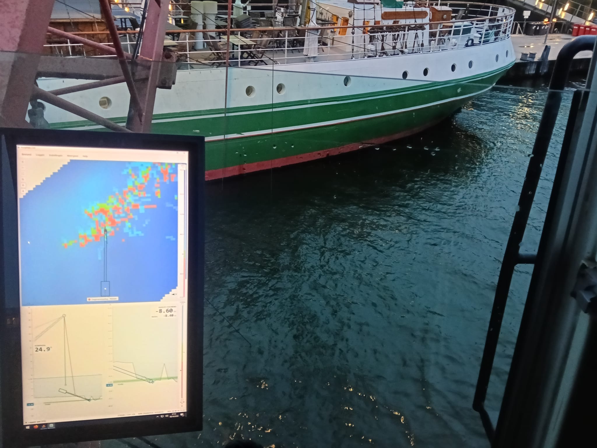
Positioning systems on dredgers and excavators: realtime excavation data within design, from hydraulic crane to offshore hopper dredger.
Lees verder →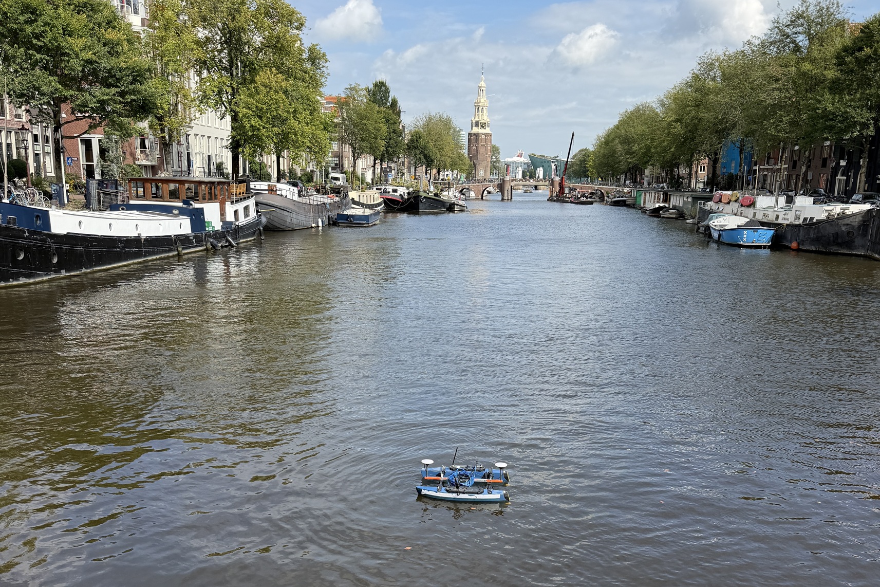
Hydrographic surveys
Seabed surveys with various vessels and USVs, from singlebeam to multibeam: RTK-accurate, from fast depth verification to full bottom coverage, from a compact building pit to the longest river.
Lees verder →
Setting out & dimensional control
From design to the field: set out points and lines accurately with RTK-GNSS or a total station and verify as-built against the design.
Lees verder →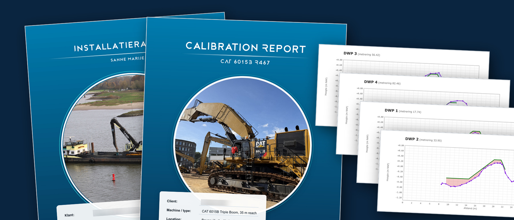
Data, software & reporting
From raw survey data to usable results. We work in the package you know, and where none exists we build the tool ourselves.
Lees verder →